
Assist. Prof Qubad Zeki Henari
Geomatics Engineering Department
TIU – Erbil
Photogrammetry is the science of obtaining reliable measurements from photographs taken from air or on the ground, to determine size, shape and location of objects appearing in those photographs.
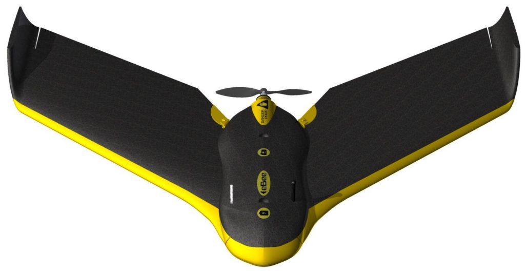
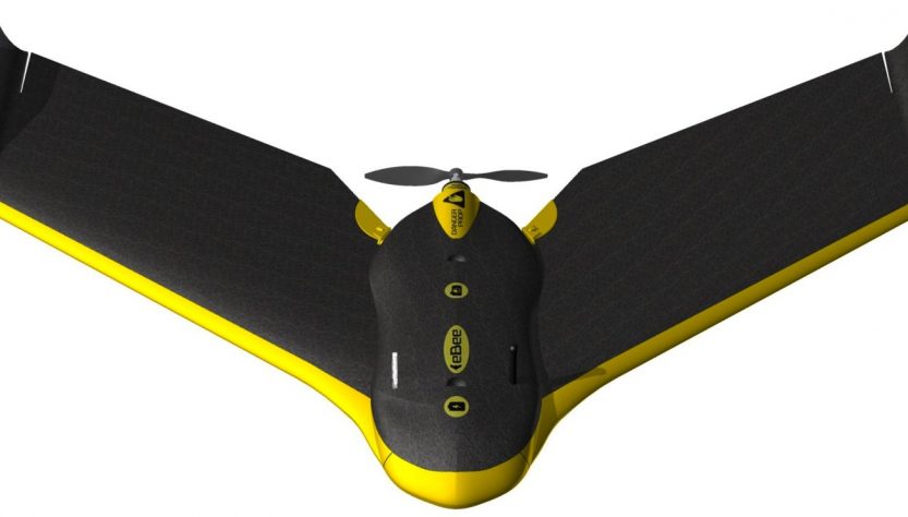
UAV, or Unmanned Aerial Vehicle, is an aircraft without pilot onboard. It is either operated by human through remote controls, or it can fly autonomously along a preplanned flight lines. They are made of lightweight composite materials to reduce weight, and used as a platform for acquiring digital aerial images of the area of interest. There are two main types of UAV: Multi Rotor, and Fixed Wing.
UAV system consists of:
- Payload, UAV can carry navigation, communication equipment’s, GNNS antenna, pitot probe to detect altitude, air speed, wind speed, an electronic device used to manoeuver aircraft, digital camera, battery, and ground sensor.
- base station, consists of a Laptop on which the flight planning is performed, and shows the real time navigation of UAV on the display, with satellite imagery background of the coverage area.
The workflow of UAV photogrammetry survey consists of five phases:
1- Establishment of Ground Control Points:
Ground Control Points (GCP) must be established before actual flying, and marked in an appropriate shape and color on the ground, they are identified in the imagery. All ground control points surveyed to determine their 3D coordinates precisely using differential Global Navigation Satellite System (GNSS) instrument to an accuracy of ± 2cm or better.
2- Fight Planning:
Flight planning will be performed by a software called eMotion 3, this is accomplished in the office or in the field, the software requires the following entries: take-off and landing position of UAV, Ground Sampling Distance (GSD), flying altitude, forward and side overlap, focal length of camera, wind speed and its direction over the area.
- Aerial Image Acquisition:
The flight plan (of second phase) will be uploaded to the UAV system, then it is launched by hand to capture high resolution images in the way that the UAV is steered autonomously over the pre-planned flight lines, without necessity of manual intervention. After the completion of the aerial imagery task, UAV will land at the predefined location safely, and then collected.
4-Digital Image Processing:
All the data collected by UAV, that is digital images taken by the camera, and GPS data imported to a professional computer based image processing software called Pix4D mapper Pro, to carry out photogrammetric process, and to georeference all images. The outputs of this stage are Orthomosaics, 3D models, `Digital Terrain Model (DTM), and Digital Surface Model (DSM).
5- Accuracy Assessment:
The accuracy of generated orthomosaic is assessed by utilizing Root Mean Square Error method, for the differences between measured coordinates in the orthomosaic of well-defined points, and their real coordinates on the ground. American Society implements this method for Photogrammetry and Remote Sensing (ASPRS) – Accuracy Standard for Digital Geospatial Data 2015.
Depending on Ground Sampling Distance (GSD), an accuracy of 2 to 5 centimeters in the horizontal location, and 5 to 10 centimeters in vertical location, or better are obtained, which are both within the international standards for mapping.